JOURNAL OF A TOUR OF DISCOVERY ACROSS THE BLUE MOUNTAINS, in the year 1813, by Gregory Blaxland
On the next day they proceeded about three miles and a half; but the trouble occasioned by the horses when they got off the open land induced them to recur to their former plan of devoting the afternoon to marking and clearing a tract for the ensuing day, as the most expeditious method of proceeding, notwithstanding that they had to go twice over the same ground. The bearing of their course this day was, at first, north-east and north, and then changed to north-west and north-north-west. They encamped on the side of a swamp, with a beautiful stream of water running through it.
Their progress on the next day was four miles and a-half, in a direction varying from north-north-west to south-south-west: they encamped, as before, at the head of a swamp. 29 This day, between ten and eleven a.m., they obtained a sight of the country below, when the clouds ascended. 30 As they were marking a road for the morrow, they heard a native chopping wood very near them, who fled at the approach of the dogs.
On Tuesday, the 25th, they could proceed only three miles and a-half in a varying direction, encamping at two o'clock at the side of a swamp. The underwood being very prickly and full of small thorns, annoyed them very much. This day they saw the track of the wombat (an animal which burrows in the ground as a badger, and lives on grass) for the first time.
On the 26th they proceeded two miles and three-quarters. The brush still continued to be very thorny. The land to the westward appeared sandy and barren. This day they saw the fires of some natives below; the number they computed at about thirty — men, women, and children. They noticed also more tracks of the wombat. On the 27th they proceeded five miles and a quarter — part of the way over another piece of clear land, without trees 31; they saw more native fires, and about the same number as before, but more in their direct course. From the top of the rocks they saw a large piece of land below, clear of trees, but apparently a poor reedy swamp. They met with some good timber in this day's route. 32
The bearing of the route for the last three days has been chiefly north and north-west.

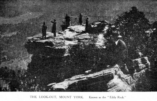
On the 28th they proceeded about five miles and three-quarters. Not being able to find water, they did not halt till five o'clock, when they took up their station on the edge of the precipice. 33 To their great satisfaction, they discovered that what they had supposed to be sandy barren land below the mountain, was forest land, covered with good grass and with timber of an inferior quality. In the evening they contrived to get their horses down the mountain by cutting a small trench with a hoe, which kept them from slipping, where they again tasted fresh grass for the first time since they left the forest land on the other side of the mountain. They were getting into miserable condition. Water was found about two miles below the foot of the mountain. 34 The second camp of natives moved before them about three miles. In this day's route little timber was observed fit for building.

