EARLY SETTLERS OF THE CASTLEREAGH 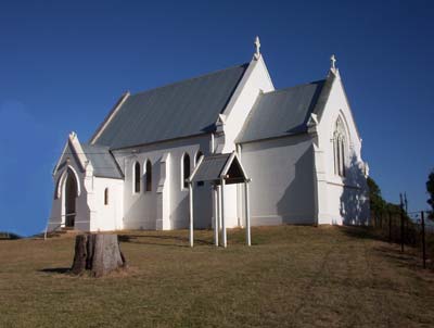 On Easter Monday this year I went looking for the Church of England Cemetery at Castlereagh, New South Wales. From Penrith, Castlereagh Road spears across the once fertile Nepean River flats that were divided into family farms by the first government land grants. These grants were given to former convicts and free settlers in the hope that their agricultural pursuits would provide food for the struggling, infant colony of New South Wales. Many of these early farmers are buried in the cemetery I was going to find... MORE On Easter Monday this year I went looking for the Church of England Cemetery at Castlereagh, New South Wales. From Penrith, Castlereagh Road spears across the once fertile Nepean River flats that were divided into family farms by the first government land grants. These grants were given to former convicts and free settlers in the hope that their agricultural pursuits would provide food for the struggling, infant colony of New South Wales. Many of these early farmers are buried in the cemetery I was going to find... MORE |
|
FROM BUNG BONG TO LAPSTONE HILL Some personal observations about bridges, culverts, tunnels and cutting after discovering the ruins of the old Bung Bong Road bridge while travelling to Melbourne from Warracknabeal. |
Come with me on a journey of discovery as I piece together information about this fascinating character.In this podcast I introduce you to the enigmatic William Murphy, through oral history recordings, photographs, an old newspaper cutting, a death certificate and a song.... MORE
|
|
It is a place to explore and revel in the wonders of nature. It is also a place for reflection, a place for problem solving and a place to meditate. Above all it is a place to dream. Article includes video of the creek in flood and an image gsllery .... MORE |
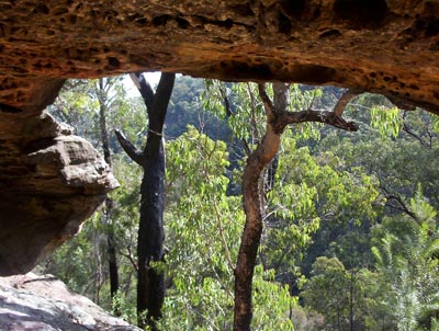
I crouch at the rear of one of these the cavesthat dot the Blue Mountains and regard the valley, crudely framed by this cave. .... MORE |
1813: THE FOUR SUMPTER HORSES OF BLAXLAND , LAWSON AND WENTORTH When the expedition led by Blaxland, Lawson and Wentworth left Blaxland's South Creek farm on 11 May 1813 in quest of a passage over the Blue Mountains, their departure was noted quietly in THE Sydney Gazette and New South Wales Advertiser, making special mention of their "prudentially taking with them four sumpter horses". These four sumpter horses offer an interesting angle from which to approach the 1813 expedition. |
Of all the explorers, surveyors and road builders who discovered, mapped and made accessible the Blue Mountains wilderness, Blaxland, Lawson and Wentworth are perhaps the central figures in our regional sense of historical place. By examining the memorials that successive generations have dedicated to their memory we can see how, over time, they have contributed to “a local geography of the past” |
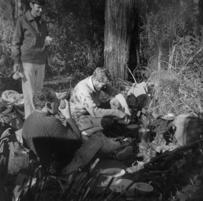
While at university in the 1960s friends and I would sometimes head off, away from the city, our books and study. One of the favourite spots to which we would travel was the Blue Gum Forest.. .... MORE |
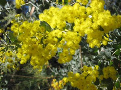
The golden wattle is Australia’s national floral emblem. The many different varieties of wattle have inspired many a poet to wax lyrical. .... MORE |
|
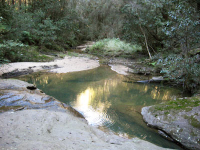
Once down at the creek it was cold and rather damp. The sun was over the western ridge line and no longer shone directly into the valley. As I have noted many times before, Cripple Creek is unfortunately a very apt name for this now polluted body of water. But there is no denying the beauty and serenity that still imbues this special place, a place not found in Blue Mountains tourist literature. .... MORE |
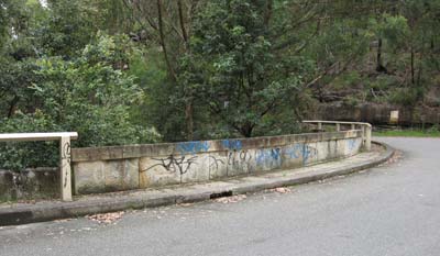
Lennox Bridge is the oldest, surviving bridge on the Australian mainland. As I drove across this sandstone, horse-shoe shaped bridge, I saw blue painted graffiti scrawled along both walls of the deck. I returned the same day and photographed this vandalism. .... MORE |
|
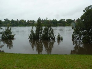
RIVER IN FLOOD When Warragamba Dam opened its flood gates for the first time in fourteen years, the excess water flowed into a river which starts with the name Nepean and along the way becomes the Hawkesbury. I went down to the Nepean River to see some of the effects of this spill..... MORE |
|



 DEFINING THE HISTORICAL LANDSCAPE: